Die besten Karten für draußen
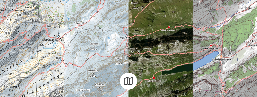
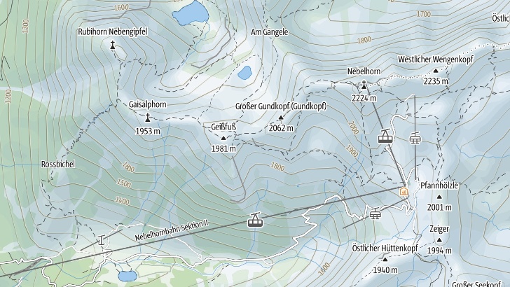
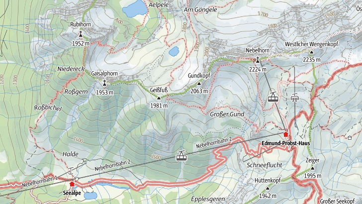
Hangneigung, Höhenlinien und Wege für alle Aktivitäten, auf der detaillierten Karte finden sich alle Informationen für ein perfektes Outdoor-Erlebnis. Dabei passt sich die Karte automatisch und ohne lange Ladezeiten an die Zoomstufe an.

Die OpenStreetMap Karte
Mit der OpenStreetMap Karte kannst du Touren planen und speichern und das weltweit und unbegrenzt.
- © OpenStreetMap (ODbL) - Mitwirkende - www.openstreetmap.org
- © Natural EarthMade with Natural Earth. Free vector and raster map data @ naturalearthdata.com
- © Sonny - https://sonny.4lima.de/

Die Outdooractive Karte
Mit der Outdooractive Karte erhältst du die Karten mit amtlichen Daten. Redaktionell aufbereitete Wegenetze für alle Aktivitäten ermöglichen die ideale Planung für das bestmögliche Ergebnis. Alle Details für Wegbeschaffenheit und Gelände sind auf den ersten Blick ersichtlich.
Deutschland
- © GeoBasis-DE / BKG 2021
- © GeoBasis-DE / LDBV 2023
- Bayerische Vermessungsverwaltung
Schweiz
- Geodaten © swisstopo - www.swisstopo.admin.ch
Frankreich
- © IGN - 2023 - www.ign.fr
Österreich
Norditalien
- © Autonome Provinz Bozen - Südtirol - Abteilung Natur, Landschaft und Raumentwicklung.
- © Cartago S.R.L. (Trentino)
- © 1994-2023 here. All Rights reserved.
Great Britain (County of Suffolk)
- © Contains OS data © Crown copyright and database rights 2023
Topokarten
- Geodaten © swisstopo
- Contains OS data © Crown copyright and database rights 2023
- © GeoBasis-DE / BKG
- © IGN - 2023
- © BEV - www.bev.gv.at
- © Kartverket
- © Lantmäteriet
- © Kortforsyningen
- © National Land Survey of Finland
- © PDOK - Publieke Dienstverlening op de Kaart
- © NGI-IGN - Nationaal Geografisch Instituut België
- © ACT - Administration du Cadastre et de la Topographie Luxembourg
- © Land Information New Zealand
- © USGS - courtesy of the U.S. Geological Survey
- © CNIG - Centro Nacional de Información Geográfica
- © ValtellinaOutdoor
- © FRATERNALI EDITORE
- © Edizione il Lupo
- © 4LAND
- © Monti Editore
- © Geospatial Information Authority of Japan (GSI)
- © Anavasi Editions
- © Visionmap
- © InfoCartoGrafica
- © Geo4Map
- © GlobalMap
- © Cartago S.R.L.
- © Discovery Walking Guides
- © Government of Canada - Natural Resources Canada
- © CIGeoE - Centro de Informação Geoespacial do Exército
- © Ordnance Survey Ireland. All rights reserved. Licence number LP_OAY1_21_2_22v1.0
- © Ordnance Survey Northern-Ireland
- © Commonwealth of Australia (Geoscience Australia)
- © Department of Finance, Services & Innovation (New South Wales Government)
- © State of Queensland
- © State of Tasmania
In ausgewählten Produkten ist auch das Kartenwerk der Alpenvereine, von Kompass, dem ADFC oder HARVEY Maps enthalten.
Alpenvereinskarte
- © DAV, OeAV - ©LDBV - ©BEV
Kompass
- © KOMPASS-Karten GmbH contributors
- Imagery © KOMPASSmaps
Allgemeiner Deutscher Fahrradclub - Bielefelder Verlag
- © ADFC-BVA
HARVEY Maps
- © HARVEY Maps